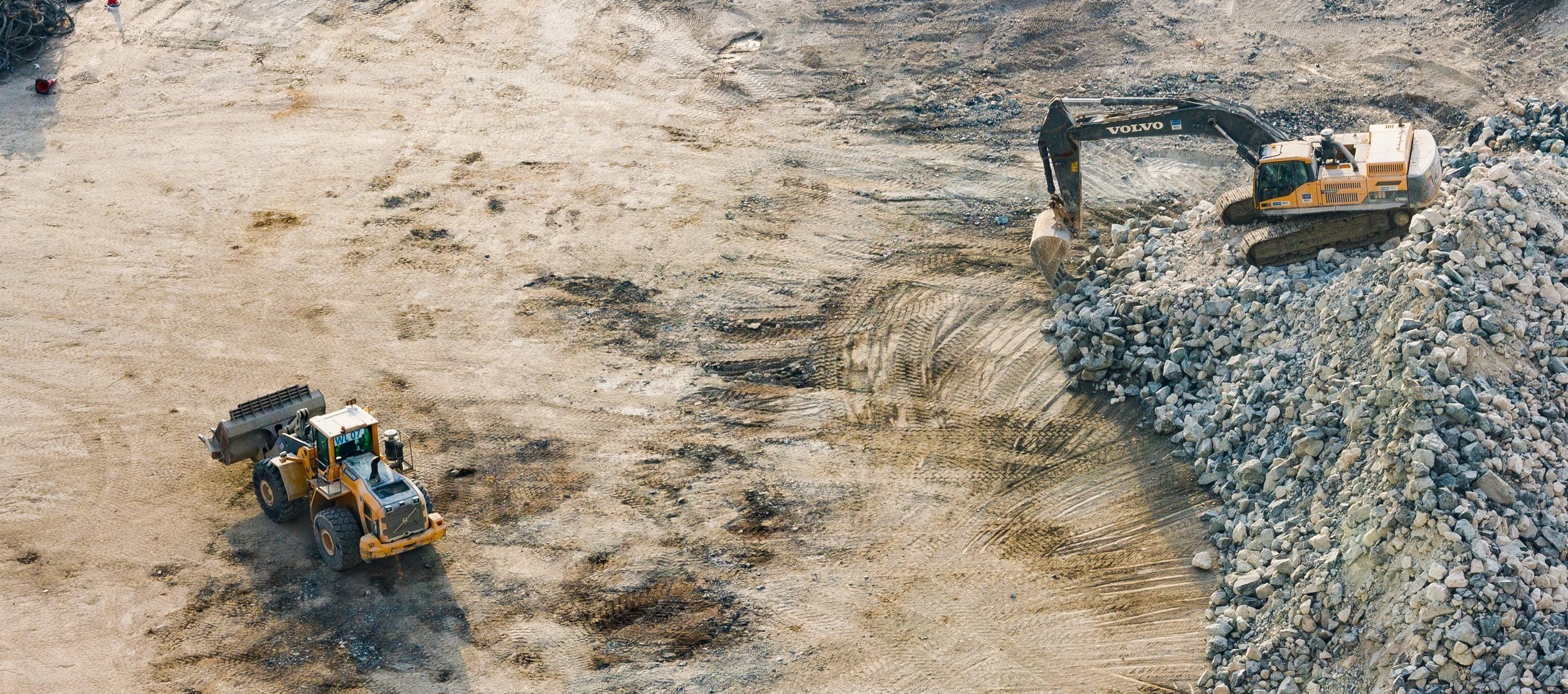
Build efficiently.
Spot Drone’s aerial imaging support services help civil engineering companies, surveyors, and general contractors.
We provide construction drone imaging support to your specifications and under your supervision.
Let us help you increase your team’s productivity, limit health and safety risks on site, and provide accurate and cost-effective geographical data to your stakeholders.
construction drone services
project planning &
logistics management
Proposals
Leverage insightful geographical data and aerial drone site inspections to create winning proposals. Gather information in hard-to-reach and dangerous terrain before you create your proposal to minimize risk and maximize profits.
Worksite Data
Make informed decisions with detail-rich geographical data. Monitor your worksite logistics and schedule on a weekly, bi-weekly, or monthly basis with construction progress drone imaging.
Health & Safety Conditions
Make the safety of your employees and contractors a top priority with construction drone services. Get a bird’s eye view of site conditions and tackle workplace safety issues quickly before they become problems.
contact us
Contact for a consultation on construction drone imaging services.
Are you ready to build smarter?

