Maximizing Efficiency: Farm Drone Services in Modern Agriculture
In the ever-evolving landscape of modern agriculture, technology is transforming how farmers manage their fields and increase productivity. Farm Drone Services are at the forefront of this transformation, offering invaluable insights and data through Geographic Data Management that have the potential to revolutionize the industry.
At Spot Drone Imaging Services, we are dedicated to harnessing the power of drones to support farmers in their quest for efficiency, sustainability, and higher yields.
The Role of Farm Drone Services
Unlocking Precision Agriculture
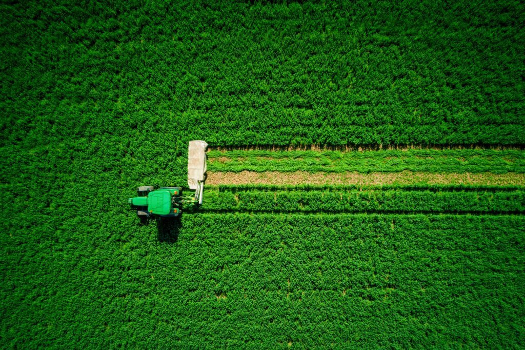
Farm Drone Services are an integral component of precision agriculture. They enable farmers to monitor and manage their fields with unparalleled accuracy. Drones equipped with advanced imaging technologies capture high-resolution images, helping to assess crop health, detect pest infestations, and identify areas requiring immediate attention.
By providing precise data on plant health, soil moisture, and more, drones allow farmers to tailor their interventions, such as irrigation and fertilization, with pinpoint accuracy. This level of precision can significantly reduce resource wastage, leading to cost savings and a more sustainable approach to farming.
Geographic Data Management
Leveraging the Power of Data
One of the key elements of Farm Drone Services is Geographic Data Management. This involves collecting, organizing, and analyzing geographic data obtained through drone imaging. Spot Drone Imaging Services excels in this area, ensuring that our clients have access to a comprehensive suite of tools and insights to make informed decisions.
Through Geographic Data Management, we enable farmers to overlay drone-generated imagery with existing data, such as soil samples and historical yield records. This integration facilitates data-driven decision-making, enhancing the understanding of each field's unique characteristics and helping optimize farming practices.
Benefits of Farm Drone Services and Geographic Data Management
Increased Yields
By optimizing irrigation and fertilization based on precise data, farmers can significantly boost their crop yields. Geographic Data Management allows them to track the effectiveness of these interventions over time, continually improving their processes.
Reduced Costs
Efficient resource allocation, driven by data, saves water, fertilizer, and labor costs. By identifying issues early and targeting interventions, Farm Drone Services helps minimize losses and maximize profits.
Sustainability
Farmers can reduce the environmental influence of their operations by minimizing the use of resources and chemicals. This sustainable approach is crucial in the face of climate change and growing environmental concerns.
Data-Driven Decisions
The data generated through Geographic Data Management empowers farmers with valuable insights, supporting them in making well-informed decisions. This data can also be shared with other stakeholders, such as agronomists and advisors, for collaborative problem-solving.
Spot Drone Imaging Services: Your Trusted Partner
At Spot Drone Imaging Services, we take pride in being a trusted partner for farmers seeking to embrace the potential of Farm Drone Services and Geographic Data Management. Our professionals are equipped with cutting-edge tech, including drones with the latest imaging capabilities and a robust data management system.
The Spot Drone Advantage
Experienced Team
Our team comprises experienced drone pilots and data analysts who understand the unique challenges of farming. We ensure you get the most out of your investment in Farm Drone Services.
Customized Solutions
We tailor our services to your particular needs, from periodic field scans to targeted problem-solving missions. Our solutions are flexible and adaptable.
Data Security and Privacy
We prioritize data security and respect your privacy. You can trust us to handle your data with supreme care and confidentiality.
Embrace the Future of Farming With Spot Drone Imaging Services!
Farm Drone Services and Geographic Data Management are integral to the modernization of agriculture. Farmers can harness the power of drone technology and data analytics to optimize their operations, increase yields, reduce costs, and contribute to a more sustainable agricultural industry by partnering with Spot Drone Imaging Services.
If you're ready to take your farming practices to the next level, contact us today and discover how we can assist you in maximizing efficiency in your agricultural endeavors!